West Multnomah Channel Wetlands Project

Conservation partners, including Metro, a regional government serving the Portland area, the Natural Resource Conservation Service, North American Wetland Conservation Council, and Ducks Unlimited recently restored a 264-acre wetland complex along the Multnomah Channel. Restoration included installing two water control structures in each of two drains. The structures will be managed to promote the expansion of native wetland plant communities by retaining floodwater throughout the spring and early summer. One structure is equipped with a baffled culvert fishway to allow fish to continuously enter and leave the flooded wetlands, while the other structure has an "undershot weir" that operates like a slow leak in a beaver dam, passing fish while mimicking the slow recession of floodwaters.
 |
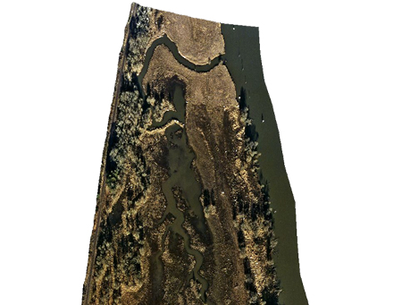
Restoration of this site was completed in October of 2001. The north wetland, shown above left, fills in the fall with the aid of a reversed flap gate that allows tidal water into, but not out of the wetland. Rainfall augments tidal inputs. The south wetland, shown above right, has a creek flowing through which is backed up by the water control structure. Both wetlands provide valuable migrating and wintering habitat for large numbers of mallards, northern pintails, American wigeon, Canada geese, and a variety of other wetland wildlife, including young salmon.
Ducks Unlimited uses cookies to enhance your browsing experience, optimize site functionality, analyze traffic, and deliver personalized advertising through third parties. By continuing to use this site, you agree to our use of cookies. View Privacy Policy